In many BfN research projects, new geodata are generated and existing spatial data are processed and analysed. The 15 or so guests used examples from their projects to illustrate the possibilities available and the obstacles that can impede the provision and use of such data. They showed which types and formats are used and how the data generated in the projects can be made available for use in further research projects or in practice.
Accurate and up-to-date location data of RE plants and power lines proved to be a common interest of the researchers, who also exchanged concrete ideas on how this data can be collected and stored for Germany. In addition, it was determined how inventory data of plants and grids can be made available for further projects and what must be formally observed when publishing geodata in this regard.
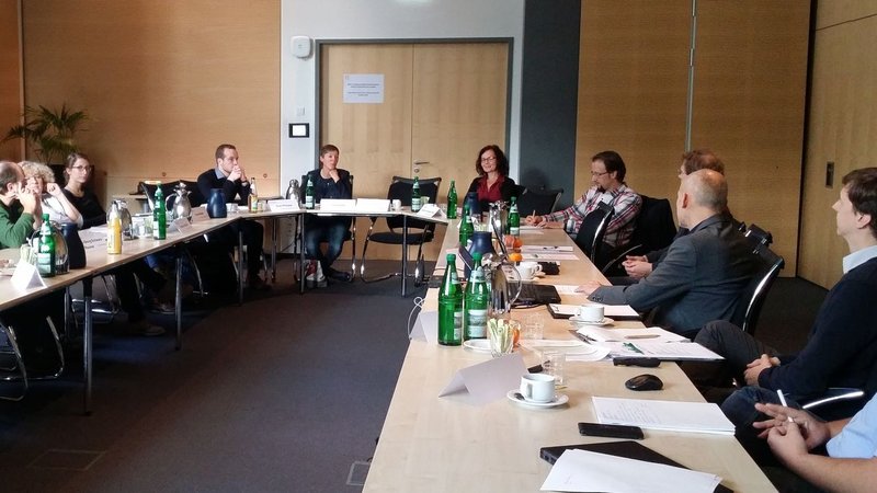
The expert meeting took place on the BfN premises in Bonn as part of the networking in the BfN focus "Nature Conservation and Renewable Energies".